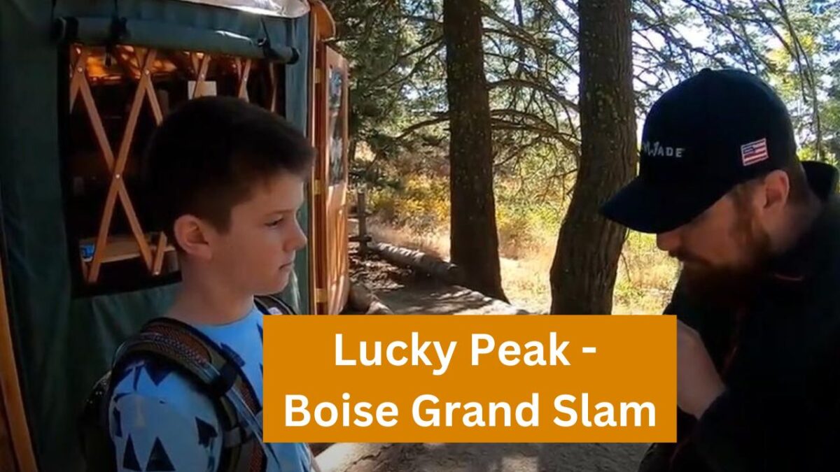
Years ago, a man named Tom Lopez created what is commonly referred to as the “Boise Grand Slam.”
Here is our preview video for the Boise Grand Slam:
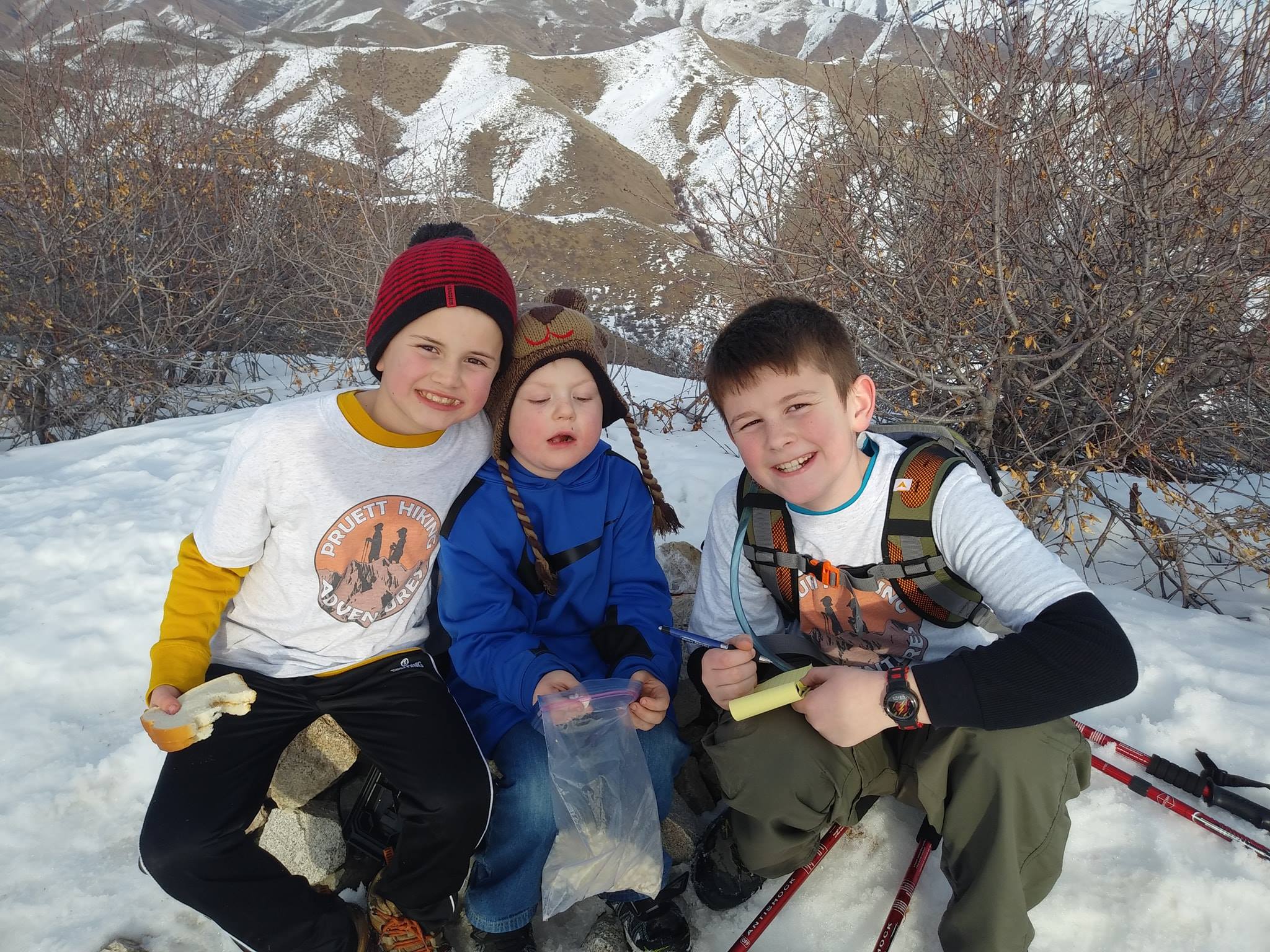
Tom created the challenge to help get himself ready for bigger hikes later on in the year. These hikes are recommended to be done in the spring as the summer months in Idaho are brutally warm and can be very dangerous, given the lack of trees for the Grand Slam hikes.
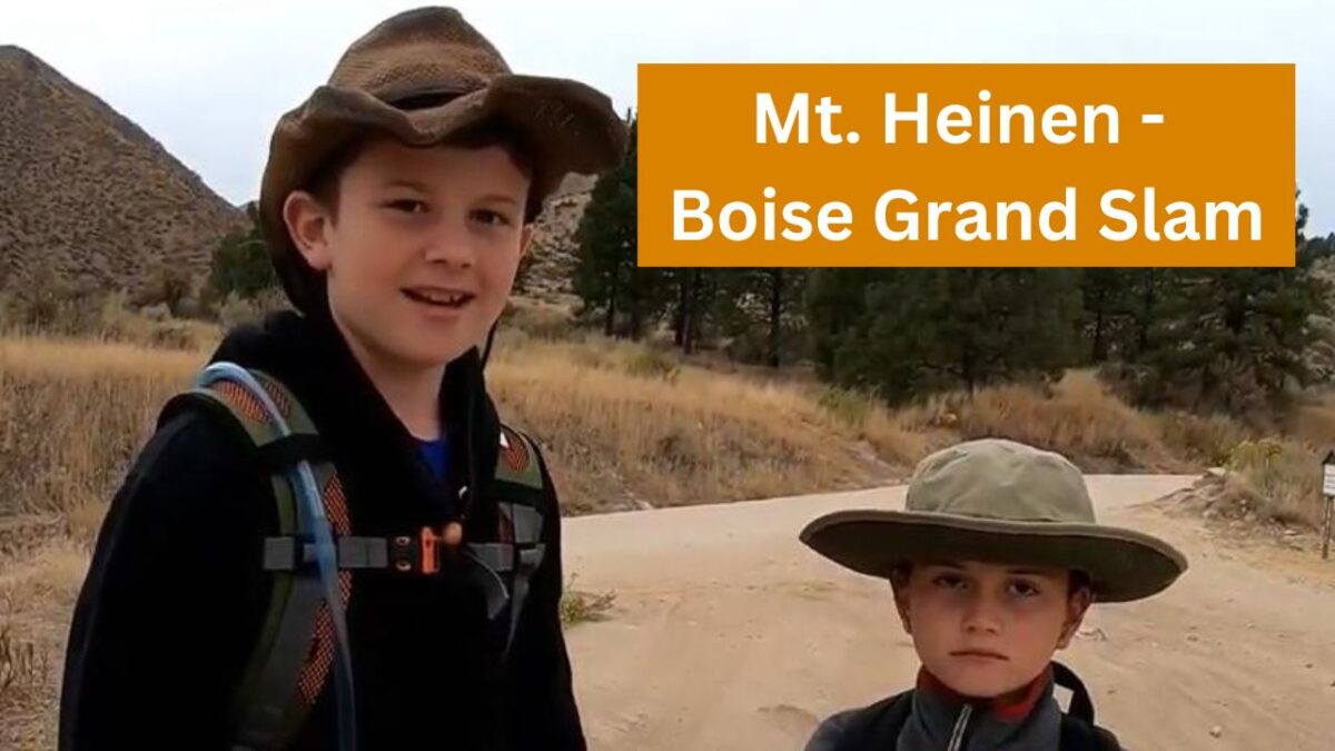
The fourth hike in the Boise Grand Slam is Mount Heinen.
- Summit Height: 6,336 feet
- Approximate Elevation Gain: 3,710 feet
- Approximate Distance: Approximately 10 miles roundtrip
We recommend doing this last if you are doing the Grand Slam. The hike, especially in the beginning, is very steep.
This hike is not as popular as some of the others in the Grand Slam. There are probably several reasons for this.
It is much more challenging than the other three, although if you are in really good shape, you should be just fine.
Another reason that Mount Heinen may not be climbed as much is that the “trail” to get there isn’t very clear. At the beginning of the hike, the trail is very obvious. However, once you get higher up, the trail disappears, and you kind of just have to know how to get there.
We have only done this hike one time, and at the time of this writing, we would not feel comfortable guiding it. We had help on the last hike, and we got off track on the way back because so many of the ridges look the same.
Be sure you have a map or go with people who know where to go if you attempt this hike.
Warning: Be extremely careful if you attempt this hike during the summer months when the temperature gets really hot. It is not advised to do this hike in the summer. A woman died a few years ago from a heat stroke trying to attempt this mountain. Not only is shade hard to come by, but the strenuous hike is going to dehydrate you really fast.
How do you get to Mount Heinen?
This may be another reason the mountain is a little less climbed than the other mountains. Directions for getting there are harder to come by. Just like going to Cervidae Peak, you are going to turn right after the big bridge over Mores Creek. If you need to know for sure which direction to go, type in “Spring Shores Marina,” and that’ll get you on the right path.
Once you turn right onto FR-268 (the road to Spring Shores Marina/Cervidae Peak parking lot) you will go 14 miles.
Warning: The road will become gravel and VERY NARROW. The road completely drops off on one side, and there’s NOT room for 2 vehicles.
At about 14 miles in, you will find a small parking area on the right-hand side of the road next to Irish Creek Campground. You can type in “Mt. Heinen Trailhead” into Google and you should be able to use that to help find the trailhead.
How do you find the trail?
After you park, there is no obvious marking for where it starts exactly but you can cross the road and you will find the trail! See above for more directions.